Birmingham weather team cancels severe alert after localized tornado
A cold front brought a single tornado warning to Bibb County on Wednesday evening before clearing, with a frost warning issued for the upcoming weekend.
By Kofi Costa ·
The First Alert Weather team at WBRC cancelled its severe weather declaration for Wednesday just after 7 p.m. The alert had been in place for a localized threat in eastern Alabama that was expected to last into the early evening. The cancellation follows the issuance of one Tornado Warning in Bibb County during the day.
The storm activity developed along a cold front that moved through the region. Most of the weather remained east of Interstate 65 for the rest of the evening. Skies began clearing in parts of West Alabama behind the weather boundary. Overnight lows settled in the 50s as rain and storm chances ended in far eastern counties by 8 p.m.
The weather team noted that the storms helped boost local rainfall totals on parched lawns. Although the overall severe risk remained marginal, forecasters monitored the system for strong storms capable of producing gusty winds or an isolated tornado. The Southern Taurid Meteor shower also peaked on Wednesday night, with viewing times set between midnight and 4 a.m. Observers could see five to 10 meteors per hour, including bright fireballs.
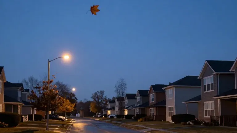
Thursday and Friday will feature pleasant autumn conditions. Afternoon highs are expected to reach the 70s, while morning lows will sit in the 50s. A few clouds and a light north breeze at 4 to 8 mph will accompany the weather on Thursday. North winds will increase by late Friday as a secondary surge of cooler air moves in ahead of the weekend.
A First Alert for a widespread frost threat has been issued for Sunday and Monday mornings in northern counties. Afternoon highs will drop into the 60s, while morning lows will fall into the upper 30s and low 40s. Model blends indicate temperatures could reach 34 degrees Fahrenheit in Cullman during those two mornings.
The extended outlook for the following week shows a dry start. The jet stream is transitioning into a split flow setup. A disturbance in the southern stream may generate isolated showers around Veterans Day. Forecasters are monitoring trends for potential drought relief as subtle signs of an El Niño pattern emerge in the guidance.