Alabama Voters Face Rain and Winds on Election Night
A weather system brings gusty winds and potential heavy rain to western counties Tuesday evening, with a colder front following by Friday.
By Adriana Abebe ·
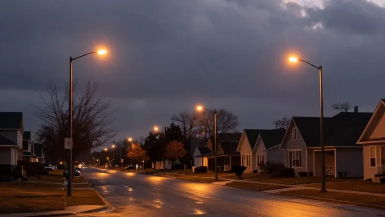
Daylight now ends at 4:55 p.m. in Central Alabama, a shift that occurred this morning as the region marked the conclusion of Daylight Saving Time. The early dusk coincides with the start of a gloomy November, where heavy cloud cover and scattered showers have persisted across the region since the weekend.
The weather pattern has remained unstable for the first days of the month. Although the heaviest precipitation stayed to the north of the Birmingham area, local residents experienced a steady layer of clouds and isolated showers. Temperatures have hovered in the upper 50s and low 60s, reinforcing the sense of a season that has turned abruptly cooler.
A brief reprieve is expected for the first two days of the workweek. Monday should remain mostly dry with a mix of clouds and sunshine, pushing highs into the mid-70s. Tuesday will bring another pleasant afternoon, offering a dry window for voters heading to the polls.
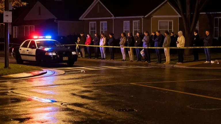
Conditions will shift as the evening progresses on Election Day. A new weather system is projected to move toward Alabama by late Tuesday night. Rain and storms are expected to enter the western counties first, accompanied by wind gusts reaching 20 to 30 mph. The system will continue to spread across the state overnight into Wednesday.
Forecasters indicate a low threat for severe weather, though isolated thunderstorms are possible in the northwest. The primary concern is the speed at which the system moves. If the rain slows as it crosses the state, heavier accumulation could linger in specific areas. Showers should taper off by Wednesday evening, with a few lingering drops possible in the early hours of Thursday.
A second change is scheduled for Friday. A dry cold front will push through the southeast, replacing the current mild air with a colder mass. Highs will drop into the upper 60s, while lows will fall into the low to mid-40s, bringing a sharper November feel to the weekend.